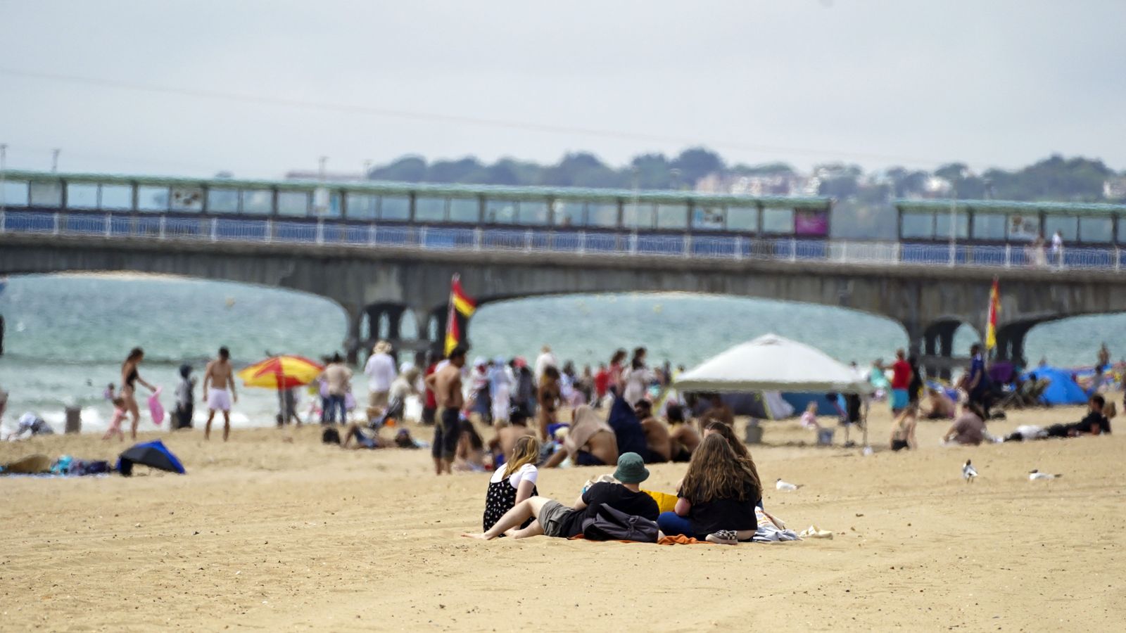
The UK is bracing itself for another heatwave next week, with some parts of the country seeing temperatures nudge towards the mid-30s.
The spell of hot weather is due to begin on Sunday, with England and Wales waking up to a bright start and seeing plenty of sunshine into the afternoon.
Peak temperatures will be seen in the southeast of England with highs of 27C (80.6F) by around 3pm, while western Scotland will not be so lucky, with rain expected to fall throughout the day.
However, by the end of next week, an area of high pressure building into the south and southwest of England will bring even higher temperatures.
On Monday, temperatures are predicted to reach highs of 28C (82.4F), with that increasing to 29C (84.2F) the following day.
By Wednesday, parts of the south are due to hit 31C (87.8F) and by Sunday they could reach the mid-30s, according to the Met Office.
Across north-western parts of the UK, wetter conditions are expected as rain-bearing weather fronts make limited headway against high pressure.
Hundreds stranded in Death Valley after record rainfall triggers flash floods
Concern about energy-saving measures in Germany as it feels bite of Russian gas reliance
‘Landmark ruling’ sees government’s net-zero strategy ruled ‘unlawful’
To be classified as a heatwave temperatures must hit 28C in London and 25C for much of the rest of the country for three consecutive days.
“Next week, this area of high pressure is going to stick around, meaning temperatures will continue to rise,” Met Office forecaster Alex Deakin said.
“We are not really tapping into the heat across Spain and Portugal this time, but with high pressure and the sunshine, temperatures by Wednesday in the south could be into the low-30s and in eastern Scotland the mid-20s.
“There’s some uncertainty about the end of the week, and it all hinges on this weather front. It could push south, and it’s a cold front, so that would introduce cooler air.
“But some computer models keep that weather front up to the north and in this scenario, that would allow temperatures to rise further towards the back end of next week.”
Find out the five-day forecast where you live
Despite the expected heatwave, the UK is very unlikely to see temperatures similar to the record-breaking highs in July, when thermometers climbed above 40C in some places.
July’s unprecedented heat fuelled intense wildfires, buckled train tracks, melted roads and saw children sent home from school.
Please use Chrome browser for a more accessible video player
The latest weather forecast comes as water companies have been urged to enforce a hosepipe ban to deal with prolonged dry conditions.
Such a ban has already been implemented in Hampshire and the Isle of Wight – with restrictions to be rolled out across Sussex, Kent and Pembrokeshire later this month.
Typically, temperatures tend to dip in August in comparison to July as the sun is lower in the sky and the hours of daylight are marginally shorter.
Subscribe to the Daily podcast on Apple Podcasts, Google Podcasts, Spotify, Spreaker
Although it is too early to say how long the hot spell will last, there are indications of a return to more changeable conditions later in the month, according to the Met Office.
Watch the Daily Climate Show at 3.30pm Monday to Friday, and The Climate Show with Tom Heap on Saturday and Sunday at 3.30pm and 7.30pm.
All on Sky News, on the Sky News website and app, on YouTube and Twitter.
The show investigates how global warming is changing our landscape and highlights solutions to the crisis.


