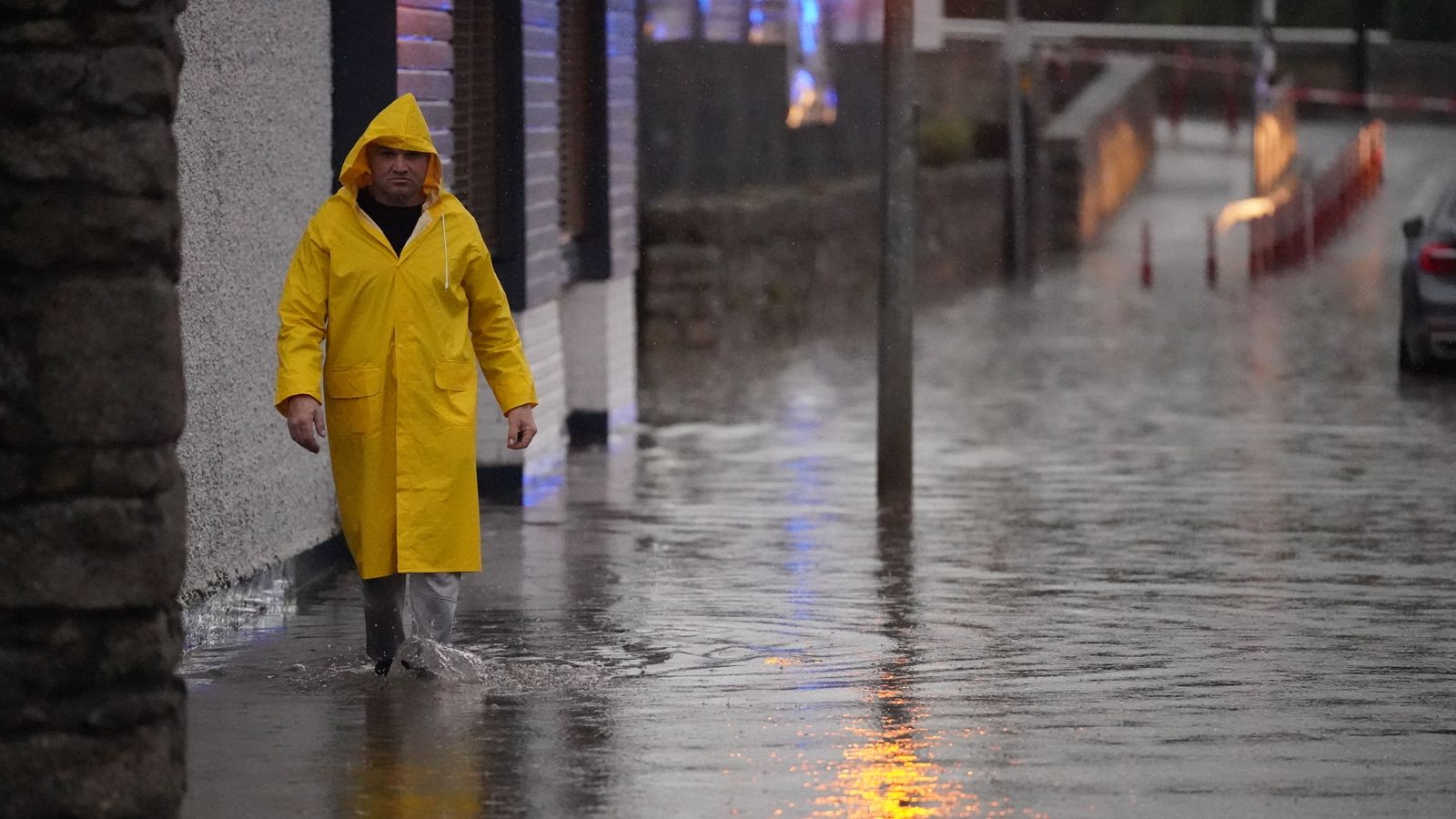
Thunderstorms and heavy rain are predicted across England and Wales on Tuesday with muggy conditions amid warnings over flash flooding and disruption.
The Met Office has issued a yellow thunderstorm warning for most of the UK on Tuesday as conditions could also cause transport disruption and power cuts in areas hit by heavy rain.
Hail, frequent lightning and flash flooding is possible, as the rain will likely later become more concentrated in southern parts of England.
Downpours are expected across Scotland on Tuesday but will gradually clear as the day goes on, while Northern Ireland will be the driest.
Tuesday’s predictions follow heavy rain and flooding in some parts of Devon and Cornwall on Monday afternoon while thunderstorms developed in east-coast counties like Essex, Suffolk and Lincolnshire.
The wet weather comes after weeks of little rain and high temperatures which caused droughts across several parts of the country as well as wildfires and triggered hosepipe bans.
Videos shared on social media showed a roundabout near a river in Truro, Cornwall, quickly flooding as showers moved in.
UK weather: Four days of thunderstorms to bring more danger and not relief after country scorched on weekend of wildfires
Drought declared in eight areas of England
UK heatwave: Britain’s green landscapes turn brown as river flows drop
Despite expected thunderstorms, the Met Office said Monday marked the eighth day in a row with 30C being recorded in the UK. Met Office meteorologist Greg Dewhurst said temperatures will be lower on Tuesday, with highs of around 27C as a maximum temperature.
Flood warnings as water drains off surface
As a result of the dry ground in recent weeks, experts have warned the likelihood of flooding is higher as surfaces act “a little bit like concrete” and water drains off instead of seeping through.
“There is the damage to homes and businesses these floods can cause, and inconvenience with transport disruptions, but if it is very heavy in one place it can also be very dangerous,” said Professor Hannah Cloke, an expert in hydrology at the University of Reading.
London mayor Sadiq Khan warned people in the capital on Monday to prepare for flash flooding this week amid heavy rain and thunderstorms.
You can share your story, pictures or video with us using our app, private messaging or email.
:: Your Report on Sky News apps
By sending us your video footage/ photographs/ audio you agree we can broadcast, publish and edit the material.
Read more:
Britain’s green landscapes turn brown as river flows drop
How little rain has your area had compared to previous years?
What happens during a drought and where does our water come from?
Experts warned that city drainage systems may not be able to cope if a sudden downpour hits as water would likely run off land that has dried up over weeks of little rain and hot weather.
Geographers and meteorologists say that the best type of rain to bring the earth out of its parched state would be a light drizzle.
Possible disruptions to travel
Please use Chrome browser for a more accessible video player
Mr Dewhurst warned that the bad weather conditions could pose difficulties for those hoping to travel and urged people to stay up to date with developments in their local area.
He said we will see some “very heavy showers develop over the coming days”.
The yellow weather warnings are also in place for southern England on Wednesday, where communities could be cut off by flooded roads, and the chance of fast-flowing or deep flood water could cause danger to life.
But as the week progresses, the weather is predicted to become breezier with some showery rain particularly across the north of the UK.
Mr Dewhurt said temperatures will generally be around average for many, but could possibly be a bit above for the far south, in the mid-20s.
“It looks probably most likely from late Wednesday to Thursday onwards it will become fresher for everyone,” he added.


