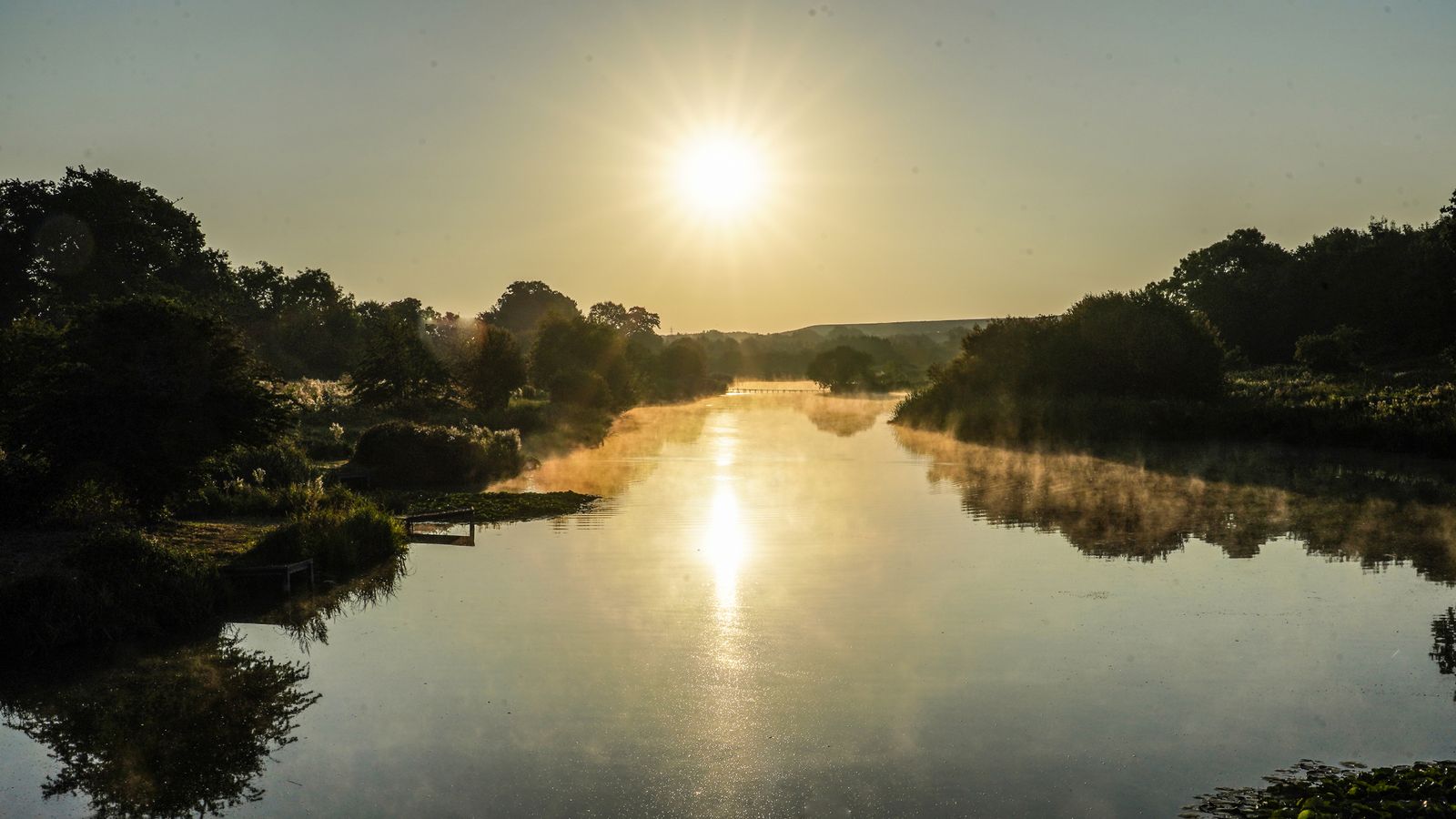
Some parts of the UK have been forecast to have a “very warm” bank holiday next weekend, as the weather warms up again.
In the last week, some have expressed relief as temperatures have cooled from the prolonged heatwave that many areas saw in late July and early August.
That was after the UK earlier saw record breaking temperatures that resulted in wildfires breaking out, train lines buckling and tarmac melting.
But with Britain’s bank holidays notorious for their poor conditions, there will be plenty of people hoping for fine weather as they try to enjoy their last nationwide break before Christmas near the end of the year.
And the forecasters say the odds are looking good, with the mercury set to rise once again.
Sky News weather presenter Jo Edwards said: “That is certainly what the data is showing at the moment.
“The next few days will be unsettled. Temperatures will be close to normal in the North but warm and humid in the South.
Homes, streets and stations under water as thunderstorms lash parts of Britain
‘Danger to life’ as thunderstorm warning issued for part of London and the South East
UK weather: Parts of Devon and Cornwall hit by heavy rain and flooding as thunderstorms begin
“High pressure begins to build in on Thursday with the promise of more settled conditions for the bank holiday weekend. However, complications aloft means showers/rain can’t be ruled out – and would be most likely in the South and North West.
“It does look as though it’ll become warm or possibly very warm in the South East but not the sort of conditions to rival the recent heatwave.”
Please use Chrome browser for a more accessible video player
The Met Office said there was likely to be a northwest-southeast split in the weather, with cooler conditions probable in the northwest of the UK.
Its long range forecast for the period covering the bank holiday weekend, from Thursday 25 August to Saturday 3 September, said: “After an unsettled week, settled conditions are expected to spread over the UK during this period, bringing fine and dry weather to most places.
“Stronger winds and some showers are likely in the North and North West, and further thundery showers are also possible across the South and South East in the early part of the period.
“A northwest/southeast temperature split may also develop, where cooler air will characterise the North, with the South becoming very warm and perhaps feeling humid.
Please use Chrome browser for a more accessible video player
“By the end of this period fine and dry weather is likely to prevail for many, albeit with the odd shower again in the South and North West. Light winds are likely with plenty of sunshine, and temperatures generally warm or locally very warm in the South.”
The return of dry weather will do nothing to relieve the impending water restrictions, with Thames Water and Yorkshire Water both due to implement hosepipe bans this week.
Read more: Hosepipe bans – What are the rules, what are the exemptions and what do they mean?
On Friday, Yorkshire Water thanked customers for reducing their water demand ahead of the ban, and as Natural Resources Wales (NRW) moved South West Wales into drought status.
Martyn Hattersley, head of demand management at Yorkshire Water, said: “Yorkshire is officially in a drought… our reservoirs are low, at below 50% full.
“A sincere thank you to our customers for using water wisely. By reducing the amount of water used, we can help to keep as much water in reservoirs as possible.”


