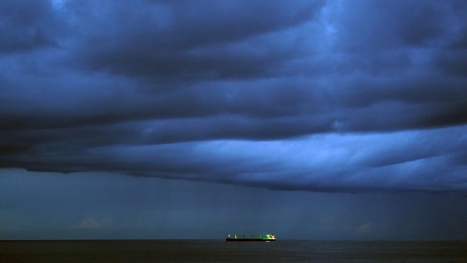
The first named storm of the season is expected to wreak havoc on Britain this weekend, with forecasters warning “unseasonably” strong winds could pose a danger to life.
Storm Antoni is expected to batter the coastlines with gusts of up to 65mph, while winds could reach 55mph inland in parts of South Wales and southwest England, the Met Office said.
The storm will hit the UK from late Friday night and into Saturday, with strong winds and heavy rain forecast. Two yellow weather warnings have been issued by the Met Office for Northern Ireland and parts of southwest Britain.
“Injuries and danger to life from flying debris are possible,” the Met Office said, as it warned of “large waves and beach material being thrown on to sea fronts, coastal roads and properties”.
Persistent downpours could also spark flooding and travel disruption.
Check the latest weather in your area
Met Office chief meteorologist Steve Willington said the storm will bring “potentially disruptive” weather as it moves from west to east.
“Northern Ireland is likely to see some of the highest rainfall totals, with 40-60mm falling in some spots, but 20-30mm more widely,” he said.
“Away from the warning area, many will still see a very wet day, especially in North Wales and north England.
“The strongest winds will affect parts of southwest England and southwest Wales, where exposed coasts and high ground could see gusts in excess of 60mph.
“In these areas, gusts inland could reach 50-55mph for a time. These windy conditions will likely coincide with high tides, which will present an additional challenge for coastal areas.”
The RAC’s Rod Dennis warned that Saturday is expected to be the worst day on the roads of the summer so far.
He said: “Conditions will be atrocious with a wholly unpleasant mix of very strong winds and locally intense rainfall.
“The best advice is to slow down significantly to stay safe and avoid exposed moorland and coastal routes until the storm passes.”
After a month of largely unsettled weather for the UK, there are some tentative signs of a change, albeit perhaps only briefly.
Mr Willington said: “For the latter half of next week, there are some signals of a shift in the jet stream which may allow for high pressure to build in for southern areas of the UK, increasing the likelihood of some drier weather for a time.
“However, at this range, the details are quite uncertain and there’s still a chance of some rain for areas further north.”
Read more:
Will it stop being cold, wet and windy soon?
Why British weather is attracting European tourists
Sky News weather presenter Jo Wheeler said of Storm Antoni: “Obviously such wind speeds present challenges, if not dangers, to holidaymakers and day-trippers.
“Trees in full leaf, and already weakened by the storm earlier this week, will be at risk of uprooting. Power lines will be vulnerable to being blown down. Not to mention, the obvious problems for campers, drivers towing caravans and those using small craft in coastal waters.
“On the roads, surface water, spray and potential flash floods may pose problems.”
She added: “On the plus side, the storm will pass fairly quickly, with the worst of the weather clearing eastern coasts on Saturday evening. But the fact remains, Storm Antoni will be hitting the country on one of the biggest crossover Saturdays of the year.”
Be the first to get Breaking News
Install the Sky News app for free
On Tuesday, official figures revealed that last month was the UK’s sixth-wettest July since records began in 1836 – and the wettest ever seen in Northern Ireland.
The UK had an average rainfall of 140.1mm last month. The wettest ever was in July 1988 when the average was 150.5mm.


