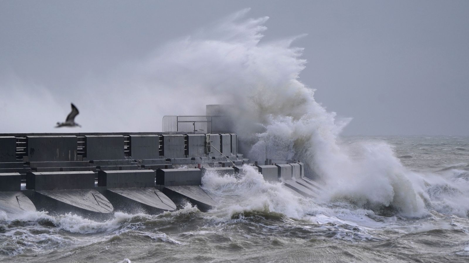
An amber wind warning has been issued as Storm Henk looks set to batter parts of the UK with gusts of up to 80mph.
The Met Office warning, for parts of southern England, the Midlands, East Anglia and Wales, means there could be disruption to travel as well as “flying debris” that is “likely and could lead to Injuries or danger to life”.
It is in place today from 10am until 8pm.
Check the latest weather forecast for your area
A separate, less severe, yellow warning for wind covering the whole of southern England and Wales is in place until 9pm today.
Those living near the coast have been advised to avoid walking near any large crashing waves as they may drag people out to sea.
Motorists are urged to drive slowly, and homeowners should secure garden furniture and other loose objects, the Met Office said.
Forecasters had earlier warned that many parts of the country would get a drenching today – likely across parts of Wales, the Midlands and towards eastern England and Yorkshire.
Read more UK news:
Rishi Sunak’s ‘misleading’ asylum seekers claim
Body of man recovered during search for missing fell runner
At least one UK grassroots music venues closing per week
A yellow warning for rain is in place across a large stretch of the country – reaching up as far as Manchester and Hull – until 9pm today, with the Met Office warning that some places could see up to 35-50mm of rainfall.
The worst of the rain was expected to clear southwestern areas of England and South Wales by around midday but it could last into the evening across the northeast of the warning area.
It means that spray and flooding on roads are likely to lead to prolonged journeys, along with bus and train services possibly facing delays.
Across England and Wales, more than 115 flood warnings have been issued, predominantly in the Midlands, and there are also over 320 flood alerts in place. In Scotland, there are five alerts and one warning.
Flood warnings are put out by authorities to inform the public of areas where flooding is expected, whereas the less severe flood alerts highlight areas where flooding is a possibility.
Paul Gundersen, Met Office chief meteorologist, said: “Storm Henk will initially bring very strong winds to the southwest of England and Southern Wales, with gusts of up to 80mph possible.
“As Storm Henk moves north-eastwards across the south of the UK through Tuesday the strongest winds will also move eastwards, across the south Midlands, Home Counties and East Anglia through the afternoon and evening.”


