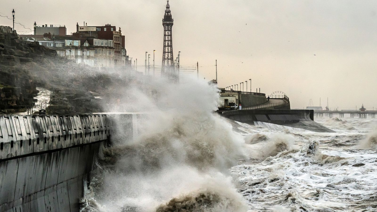
When Storm Jocelyn hit the UK this week – hot on the heels of Storm Isha – it was the tenth named storm to sweep across the country this winter.
It was only the second time in a UK storm season that the letter J has been reached in the alphabet.
Since storm naming was introduced in 2015, the furthest through the list the group has got is to Storm Katie in 2016.
This season is now one name away from equalling that record – with more than seven months to go until the list resets in September.
So why have there been so many named storms – and could there be more to come?
What’s in a name?
Storms are named when they are likely to cause medium or high impacts in Ireland, the UK or the Netherlands.
The names are compiled by the UK’s Met Office, Ireland’s forecaster Met Eireann, and the Netherlands’ KNMI.
The system was created to raise awareness of severe weather and help people to prepare themselves.
The storm season runs from the beginning of September to August the following year.
What is behind this year’s storms?
This year’s stormy weather is largely down to the jet stream, according to the Met Office.
Met Office meteorologist Annie Shuttleworth said: “While we have had some drier and calmer interludes, the stormy nature of the UK’s autumn and winter so far is chiefly dictated by the position and strength of the jet stream, which is a column of air high up in the atmosphere.
“The jet stream greatly influences the weather we experience in the UK and during recent months this has largely been directed towards the UK and Ireland, helping to deepen low pressure systems.
“These systems have been directed towards the UK and have eventually become named storms due to the strong winds and heavy rain they bring.”
More recently, a pool of very cold air has sunk southwards across North America, the Met Office said, causing a temperature contrast that has intensified the jet stream and influenced Storms Isha and Jocelyn.
Is the weather beocming more stormy?
There is evidence that human-influenced climate change has contributed to temperature extremes, heavy rainfall events, and rising sea levels around the world, according to the Met Office.
But they note it is hard to detect trends in the number and severity of wind events in the UK.
Our climate overall is getting wetter, the Met Office’s Dr Amy Doherty said – but there aren’t “compelling trends” that show increased storminess over the past decades.
“One thing that is clear from observations is that there’s big variability year-to-year in the number and intensity of storms that impact the UK,” she said.
Most climate projections indicate winter wind storms will increase slightly in number and intensity over the UK as a result of climate change, the Met Office said.
“We can be confident that the coastal impacts of wind storms, from storm surges and high waves, will worsen as the sea level rises,” the forecaster added.
But the Met Office also notes climate scientists “use long-running datasets that compare decades and centuries to assess the impact of human emissions on long-term weather” – so using the storm name list to assess the impact of change isn’t necessarily “statistically robust” as “the time period is far too short”.
Read more from Sky News:
How cold is too cold to go to work?
2023 was world’s hottest year on record – and 2024 could be worse
Be the first to get Breaking News
Install the Sky News app for free
Could there be more storms on the way?
In short, possibly yes.
Although it’s too early to predict, the Met Office say “there remains a chance of further impactful weather as we move through meteorological winter and into spring”.
Looking ahead, Sky News meteorologist Steff Gaulter said after a very wet last few months, “many of us are now thoroughly sick of the rain”.
But she notes there “might be a change on the cards”.
“With El Nino in place in the Pacific, the end of our winters often have rather a cold theme,” she said.
“So there is the possibility that we may see some more cold, crisp conditions in the next couple of months.”


