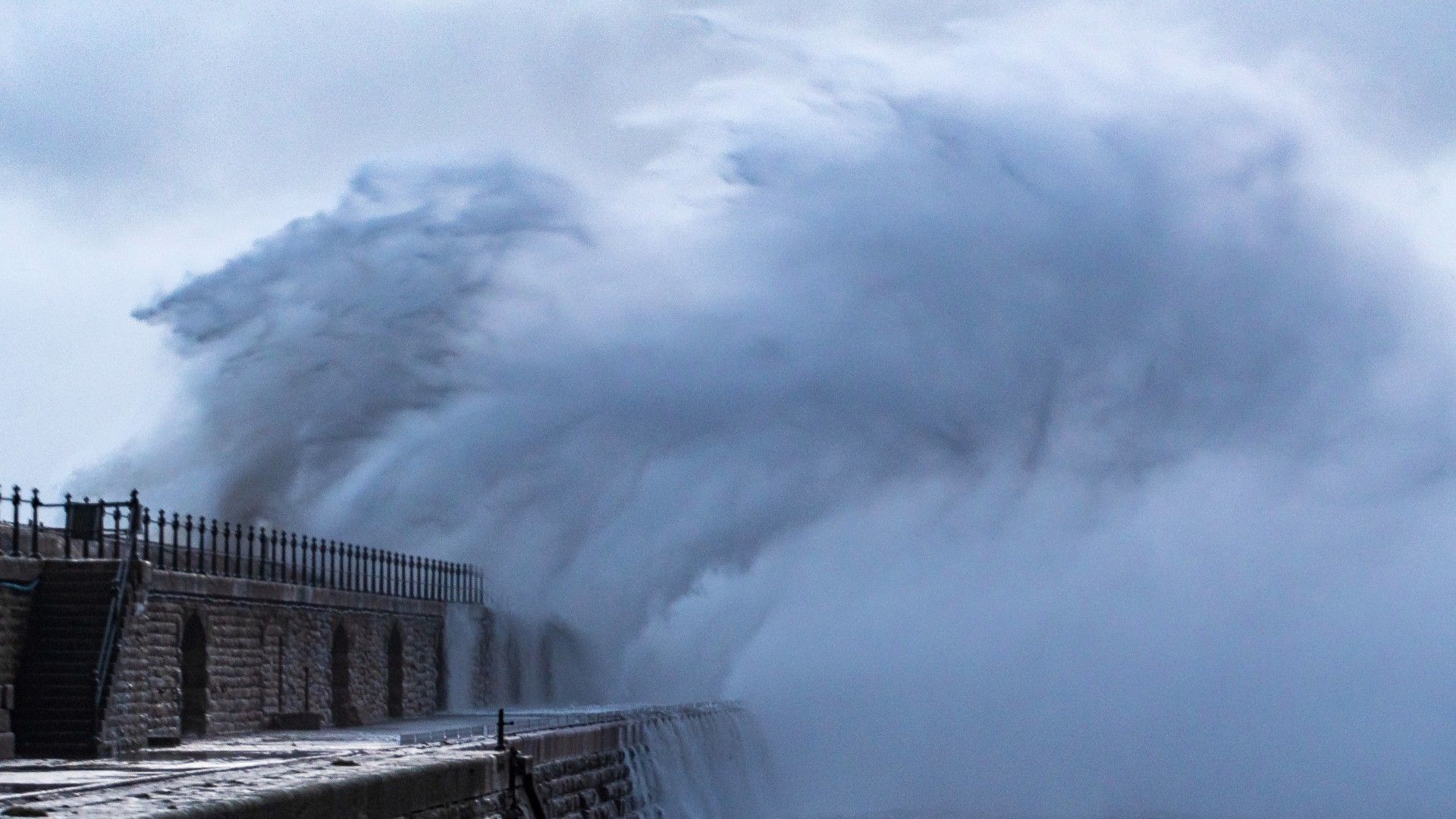
A rare red alert for “very strong” wind has been issued for part of the UK ahead of Storm Eowyn.
The alert, which covers all of Northern Ireland from 7am on Friday until 2pm, warns of “very dangerous conditions” and “widespread disruption”.
Tornados could also hit parts of the UK today, ahead of the storm, with forecasters warning of a danger to life.
The Met Office said changing conditions would likely trigger an explosive cyclogenesis – or weather bomb – with strong winds, rain, snow and gusts of up to 90mph expected on Friday.
A series of amber and yellow warnings have been put in place by the group, threatening injuries and a danger to life.
European storm forecasters Estofex issued a level 2 alert, saying there was a “risk of a few tornados”.
“A strong event cannot be ruled out,” the meteorologists said.
Storm Eowyn: Strong winds threaten UK ahead of ‘danger to life’ alert and up to 90mph gusts
UK weather: Storm Eowyn to bring strong winds across UK this week, Met Office says
UK weather: Warning of ‘danger to life’ as heavy winds to batter parts of Scotland and Northern Ireland
“Given rapid translation of thunderstorms, any tornado could be long-tracked… The main tornado risk seems to evolve along and [south] of a Bristol-London line.”
Met Office forecasters explained the storm had a central air pressure of 1001hPa as of Wednesday evening, but this was expected to drop by 62hPa by the early hours of Friday.
“This is known as explosive cyclogenesis or a weather bomb and will bring damaging winds to some areas,” they said.
The major change in the UK’s weather was starting on Thursday, the Met Office said, with heavy rain and strong gusts triggered by a powerful jet stream pushing low pressure across the Atlantic and towards the country after a recent cold spell over North America.
The south coast of England, parts of the South West and much of the Welsh coast are covered by a yellow weather warning for wind from 7am until 6pm on Thursday.
Some coastal routes and sea fronts in these areas will be affected by spray or large waves, the national weather service said.
But as the storm arrives on Friday, rain and even snow is expected over parts of Northern Ireland, Scotland and higher ground in northern England.
The whole country is covered by at least one yellow weather warning on Friday, with warnings for snow, wind and rain in place.
The Met Office says the strongest winds are due to hit the north of England, south of Scotland and North Wales, where an amber wind warning is in place from 6am to 9pm on Friday – but the south of the country will also be affected.
Read the full Sky News weather forecast
Gusts of up to 90mph are more likely to be found along the more exposed coastal areas, while winds of between 60 to 70mph are expected inland.
The Met Office advised people to secure loose items outside homes as there could be a danger to life caused by flying debris.
Meanwhile, a rare, red wind warning has been issued by Ireland’s weather service ahead of the arrival of Storm Eowyn, threatening to bring “severe, damaging and destructive gusts”.
Gale force southerly winds turning to the west are set to bring “extremely destructive gusts in excess of 130kmh [80mph]” on Friday, according to Met Eireann.
The “status red” warnings are in effect across all of Ireland’s 26 counties, throughout Friday morning and into the afternoon for some counties.
Mike Silverstone, deputy chief meteorologist at the Met Office said: “Storm Eowyn is expected to bring very strong winds and widespread disruption on Friday. There are currently a number of weather warnings in place, with all parts of the UK covered by one warning at some point on Friday.
“Storm Eowyn is expected to cross Northern Ireland early on Friday morning. It will then continue north-east across the northern half of Scotland during Friday afternoon and is expected to be centred near Shetland during Friday evening.”
Read more:
Manhunt in Plymouth as police launch murder investigation
Attack submarine warned off Russian spy ship
National Highways, which operates motorways and major A roads in England, has urged motorists in the North West, North East and Yorkshire to plan for disruption on Friday.
It has warned of “a particularly high risk” that high-sided vehicles, caravans and motorbikes could be blown over.
Be the first to get Breaking News
Install the Sky News app for free
Rail passengers also face being stranded in the north of England, as LNER warned there would be no trains in either direction north of Newcastle from 11am on Friday.
“Services north of York will also be subject to short-notice cancellation and significant delay,” an LNER spokesperson said.
“Alternative travel options will be limited due to the nature of the weather.”


