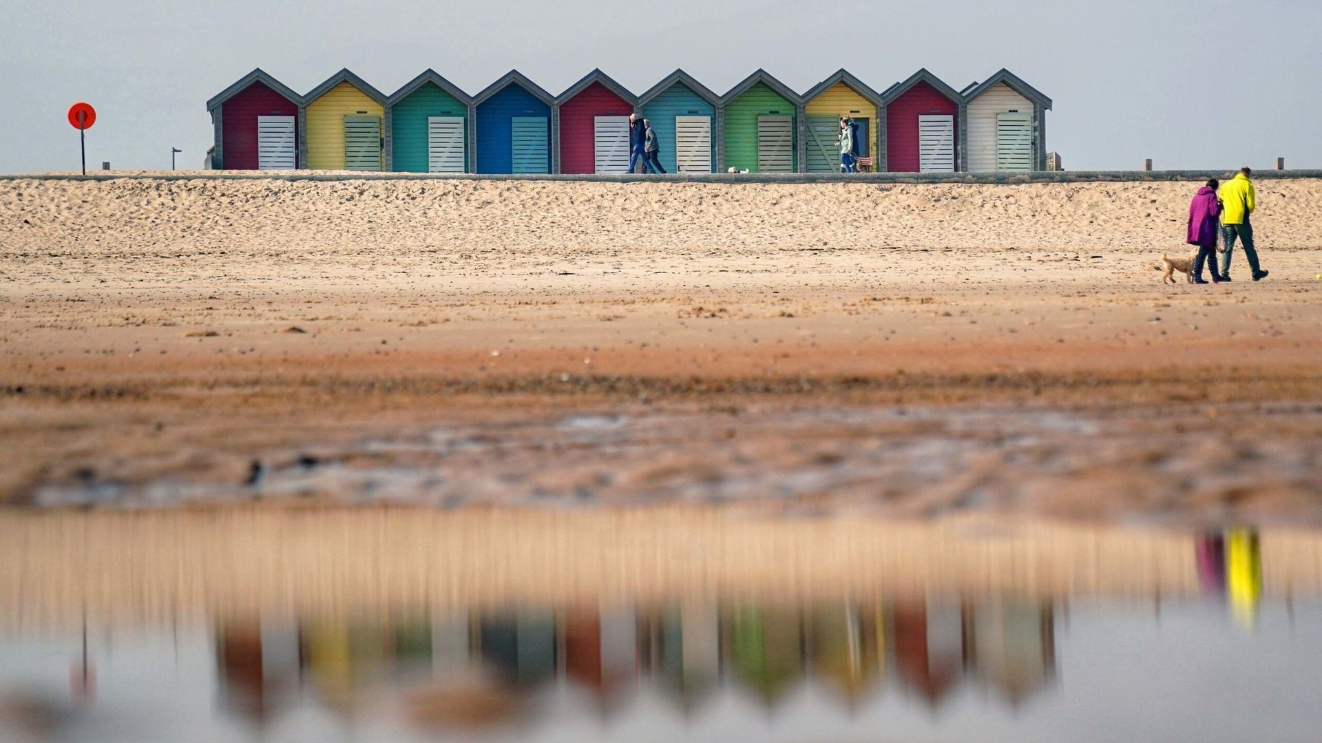
“Spring-like” weather is on the way this week, with highs of up to 16C.
But it’s not quite time to dust off the barbecue – the warmer weather will also bring “unsettled” conditions, the Met Office said.
The balmier forecast comes after snow and ice warnings at the start of the week, including a yellow weather warning across parts of Scotland that ended at 12pm on Tuesday.
It is likely to stay cold overnight, with sub-zero temperatures for many and outbreaks of rain developing over Northern Ireland and Scotland.
Read more on Sky News:
British couple detained in Iran charged
Thames Water granted multi-billion pound lifeline
US-led peace talks with Russia begin
Met Office Deputy Chief Meteorologist, Tony Wisson, said: “Milder but unsettled conditions are moving in from the Atlantic later this week.
“As the week goes on, we’re set to experience wetter conditions with showers and bands of rain moving in from the Atlantic. Western hills will see the highest rainfall totals, with 75-100mm possible here, building up from Wednesday to Friday.
“There will be brighter and sunnier spells in between bands of rain. With temperatures possibly as high as 16°C on Thursday and Friday, it will feel much more spring-like than of late.”
The weekend is looking better – with mild temperatures and sunny spells mixed in some rain, and gales in some coastal areas.
Weather producer
After the recent cold and grey conditions things are changing this week.
Firstly, it has been much brighter in the south than of late, with almost unbroken sunshine expected across England and Wales on Tuesday afternoon.
It will turn milder from Wednesday too, with temperatures several degrees above average on Thursday and Friday.
Temperatures then will widely reach 12 to 14 Celsius (54 to 57F), with highs of 16 Celsius (61F) possible.
Average February temperatures are more like 7 to 9 Celsius (45 to 48F).
Overnight frosts look unlikely after Tuesday night too.
Saturday doesn’t look quite so mild, but Sunday will see temperatures picking up again.
It may be turning milder, but it will become more unsettled, with spells of wind and rain from Wednesday.
The rain will be heaviest on western hills, with 48-hour rainfall totals to the end of Friday reaching 50 to 90mm.
The ground is quite wet, even though it’s been dry recently, so localised flooding is possible.
Strong winds will be a concern too, with coastal gales at times, especially in the west on Friday.
At the moment no weather warnings have been issued, but that may change with improving confidence in the forecast.


