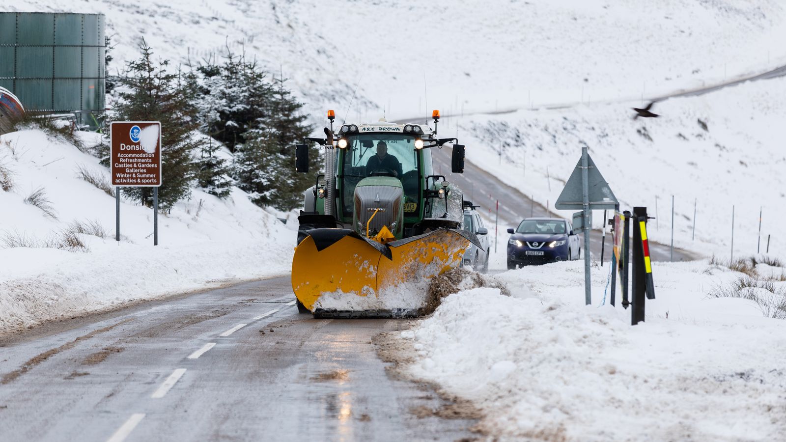
Plummeting temperatures and icy conditions are set to sweep parts of Britain overnight after the country endured a cold snap and consistent downpours at the end of 2022.
Yellow weather warnings for ice are in place for the North of England and across Northern Ireland from midnight on Monday until 11am on Tuesday.
The Met Office has also issued yellow weather warnings for ice in Scotland from 6pm on New Year’s Day until 11am on Monday, with temperatures expected to drop to -8C in the Highlands.
The forecaster warned of the risk of injuries from slips and falls, along with icy patches on some untreated roads, pavements and cycle paths.
While rainfall is easing for many, it will remain cold in the North and West of the country, with the Met Office adding: “Rain in northeast and southeast is clearing during the evening, though lingering over the Northern Isles.
“A few showers elsewhere, but plenty of dry weather with easing winds. Cold in the north and west with some frost. Icy stretches in the north.”
It added that “ice remains the main hazard”.
US weather: ‘Atmospheric river’ storm sees California hit by heavy rain and snow
US bomb cyclone bringing bad weather to UK as yellow warning issued
UK weather: Technically speaking, it was a white Christmas this year
A snow warning across central and northern Scotland was in place until midday on Sunday.
The Met Office predicts a “much better day than of late” on Monday with most areas expecting fine, dry and bright weather after a chilly start through showers in the southeast during the morning, though it will remain showery in northwest Scotland.
Met Office meteorologist Dan Stroud said: “We’re expecting temperatures to drop quite quickly, quite widely – actually below zero – with some rural spots getting down to -7C, -8C tonight in the Highlands.”
He added: “The rest of the UK, certainly a colder night than the night just gone… a few showers moving off of the north and west around Liverpool Bay area across the Lake District, and those will leave behind wet surfaces during the course of the afternoon and into the evening.”
After a cold and dry day on Monday, forecasters say the first week of 2023 looks unsettled with wet and windy weather for most, before turning milder.
Fourteen flood warnings are in place for the next five days, with local flooding from rivers and surface water possible on Tuesday and Wednesday for parts of North West England.
Land, roads and some properties could also flood, and there may be travel disruption.
For most of Tuesday and Wednesday, the Met Office predicts it will be unsettled and windy for most parts of the country, with showers or longer spells of rain.
It is expected to turn mild after a chilly start on Tuesday morning, with further rain in mainly central and southern areas forecast later on Thursday.


