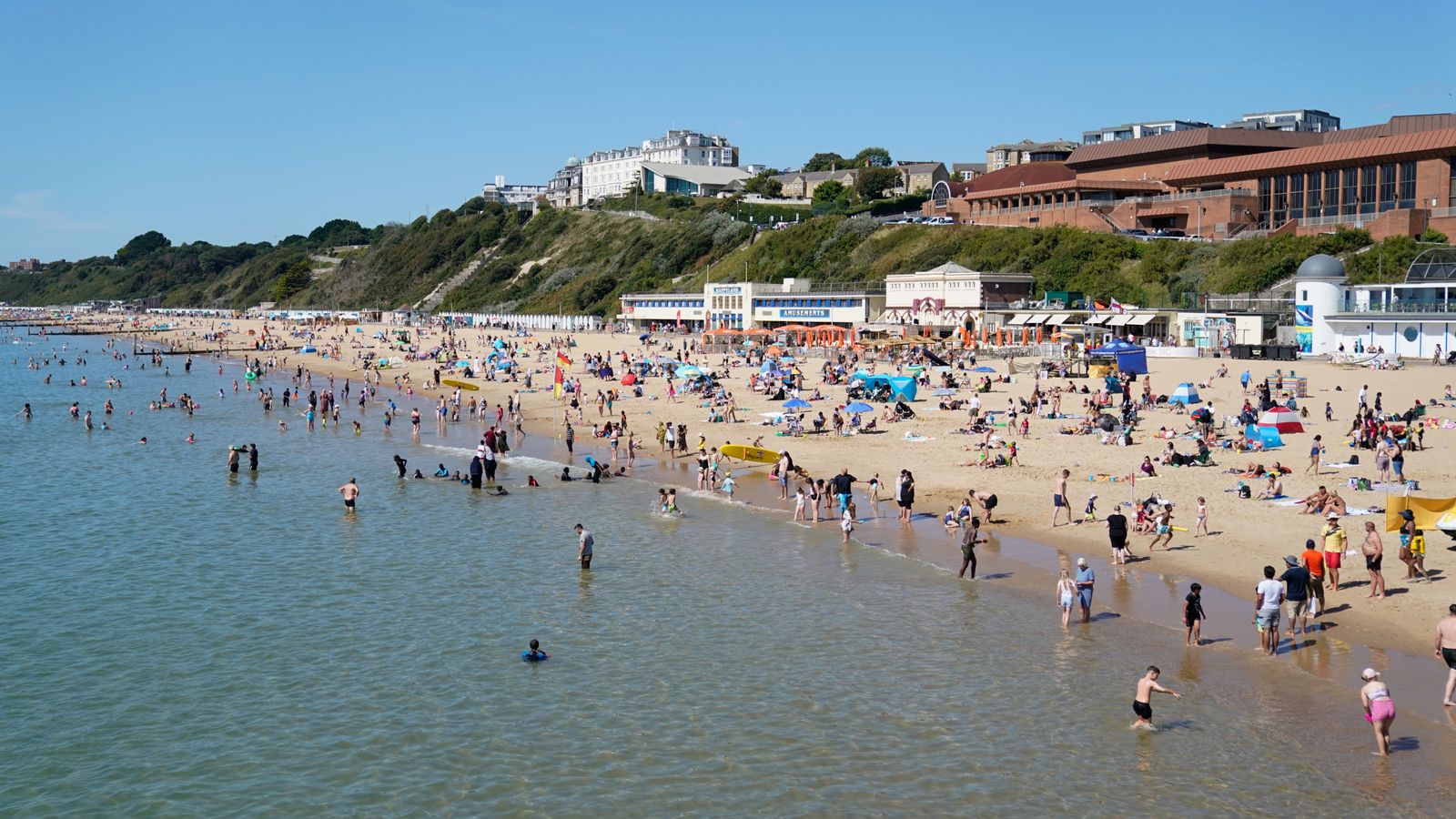
The warmest weather of the year is on the cards for this week as a heatwave is set to bring temperatures of more than 30C.
Although autumn technically began on 1 September, it will feel more like summer in much of the UK over the next few days, just as many schools return.
High pressure is expected to bring widespread warm weather, especially in the south, where temperatures could reach 30C around the middle of the week.
Northern areas will also “see temperatures widely in the mid to high twenties”, said Sky News weather producer Joanna Robinson.
Weather in some places will be warm enough to class as a heatwave, the definition of which varies by region.
Last year the Met Office redefined heatwaves for parts of England as the climate warms.
The news will cheer those wishing to make one last trip to the beach or squeeze in a final barbecue after a soggy summer.
UK weather: Heatwave ‘likely’ to hit parts of country next week with highs of 30C forecast
Hurricane Franklin remnants could bring warm weather to UK as they ‘buckle jet stream’
Storm Betty Met Office weather warnings as wind and rain batters much of UK
Highs of 32C are possible in the south, potentially beating the highest temperature of the year so far of 32.2C (90F), recorded on 10 and 25 June.
Please use Chrome browser for a more accessible video player
Sky News’s Joanna Robinson added: “Differences in the flow will bring some day-to-day changes on where the highest temperatures will be, but the peak is likely on Wednesday or Thursday.”
“There’ll be some warm nights too, especially on Wednesday, when there odd place may experience a tropical night – when temperatures don’t fall below 20C.
“Later in the week, there’ll be an increasing risk of showers and thunderstorms, but most places will stay fine until next weekend.”
Temperatures in the UK haven’t topped 30C since 7th July, when Chertsey hit 30.2C.
Despite an unsettled July and August, this season was still one of the UK’s ten warmest summers on record, according to provisional Met Office figures.
That’s due to an exceptionally warm June, when widespread high pressure brought many dry days of warm summer sunshine.


