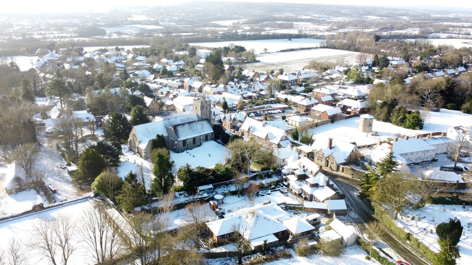
More snow and freezing temperatures are on the way as a blast of cold weather from the Arctic moves in.
The Met Office has warned of an “increasing chance of wintry hazards” in the coming days before parts of the country can expect snow next week.
There has been a frosty start to Wednesday for much of the country, with temperatures as low as -1C in southern Wales and -2C in the south of England.
The Met Office said the UK is experiencing colder than average weather because the country is under the influence of high pressure – bringing settled conditions.
The UK is set to be largely dry this week – after a wet start to January, with Storm Henk causing widespread flooding and two deaths as it lashed the country with strong winds and heavy rain.
More than 100 flood warnings remain in place as the country continues to recover from the storm.
Check the latest forecast where you are
Please use Chrome browser for a more accessible video player
Met Office meteorologist Aidan McGivern said: “A cold front from the north towards the weekend will mark another change in the airmass for the UK, moving from something with a bit of an Atlantic influence to air that comes more directly from the Arctic.”
The cold front over the weekend will bring some rain to northern areas, with the west of Scotland likely to be most affected.
Will Lang, the Met Office’s head of situational awareness, said: “There will be a resurgence in the really cold weather through the weekend and that spreads across the whole of the UK during the early part of next week.
“Initially, this means there will be more in the way of showers around the coasts, turning increasingly to snow for many areas, especially further north.”
Looking ahead to next week, Mr McGivern added: “We start with a northerly airflow and snow showers, especially near the coasts in the north. But there will also be brighter skies for some.
“Then, from the middle of next week, low pressure tries to move in from the South West, and the impact of this is still a bit uncertain at this range.
“Different models are saying different things in terms of the track of this low, but you have the ingredients for snow with cold air in place and additional moisture supplied from the Atlantic, which will bring rain, but on the boundary with the cold air, you could see some snow.”
Met Office forecasters have said the intensity, location or impacts of any snow next week remain unclear.
Read more from Sky News:
Children committing half of reported child sexual abuse offences
Parents of newlywed burned to death in crash win £78m payout
More flooding expected after Storm Henk deluge
The Environment Agency had 110 flood warnings, meaning flooding is expected, in place at 7.30am on Wednesday morning.
They covered areas such as Walton, Sunbury and Wraysbury along the River Thames, as well as Tewkesbury along the River Severn and Newbury on the River Kennet. There were also 119 flood alerts, meaning flooding is possible, in place across England.
There were no warnings in place in Wales, where there were two alerts – one for South Pembrokeshire and another for the Lower Dee catchment. There were no alerts in place for Scotland and Northern Ireland.
It comes after environment minister Robbie Moore said at least 2,000 properties flooded as a result of Storm Henk.
The worst-affected areas will be able to apply for thousands of pounds in government money to pay for recovery work and repairs.


