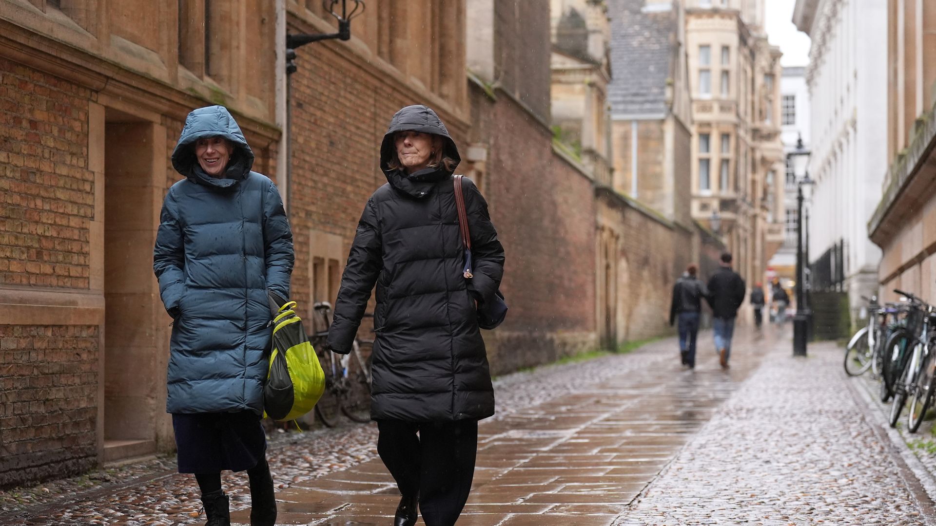
Rare freezing rain and snow could hit parts of England this weekend.
A yellow weather warning for snow and ice is in place across parts of northern England for Saturday – covering the North East and parts of Yorkshire, from 6am to 2pm, according to the Met Office.
Up to two inches of snow could fall in parts of the north, including Scotland – with passengers told to expect some travel disruption.
More: Get the forecast where you are
Rare freezing rain – when cold rain droplets freeze on cool surfaces and create ice – is also expected in the north.
The Met Office has also said that there may be heavy rain over parts of southern Wales and southwest England.
Weather forecasters say that so far this winter, we have experienced 69% of sunshine – when we should have experienced around 83%.
This month alone, they say we have experienced 35% of sunshine – when we should have had 46% by this point in February.
Read more on Sky News:
Chancellor responds to expenses allegations
Meghan’s Valentine’s Day message to Harry
Controversy over Stormzy’s ‘Free Palestine’ post
Broadcast meteorologist
Our weather has been cold and grey day after day thanks to a blocked weather pattern and a nagging easterly wind – although parts of northern Scotland and the Northern Isles have enjoyed some winter sunshine.
Finally, though, things are slowly changing as weather fronts push in from the Atlantic. But it’s a messy transition.
And that means a risk of snow and ice for some of us this weekend, before wetter, windier and milder weather moves in from the west.
The greatest risk of snow and freezing rain (where rain falls onto frozen surfaces and forms dangerous black ice) will be across the hills of northern England during Saturday, with parts of Scotland also at risk of sleet and snow.
But once the milder and more unsettled weather does make it across the UK, we should finally see some brighter conditions later next week.
Be the first to get Breaking News
Install the Sky News app for free
‘Some snow likely’
Met Office meteorologist Matthew Lehnert said: “Through Saturday the rain will move further east and as it does it’ll bump into the colder air, meaning some snow is likely, mainly for parts of northern England, covered by the snow and ice warning.
“Two to five centimetres is possible over the Cheviots and North Yorks Moors, and it’s possible we could see some localised accumulations to lower levels.
“Some freezing rain could affect higher parts of the Pennines for a time too, leading to icy conditions. Some snow is possible outside the warning area, although amounts are likely to be small.”


